Trip Report - Chile | Patagonia & The O-Trek
Our Trip & Itinerary
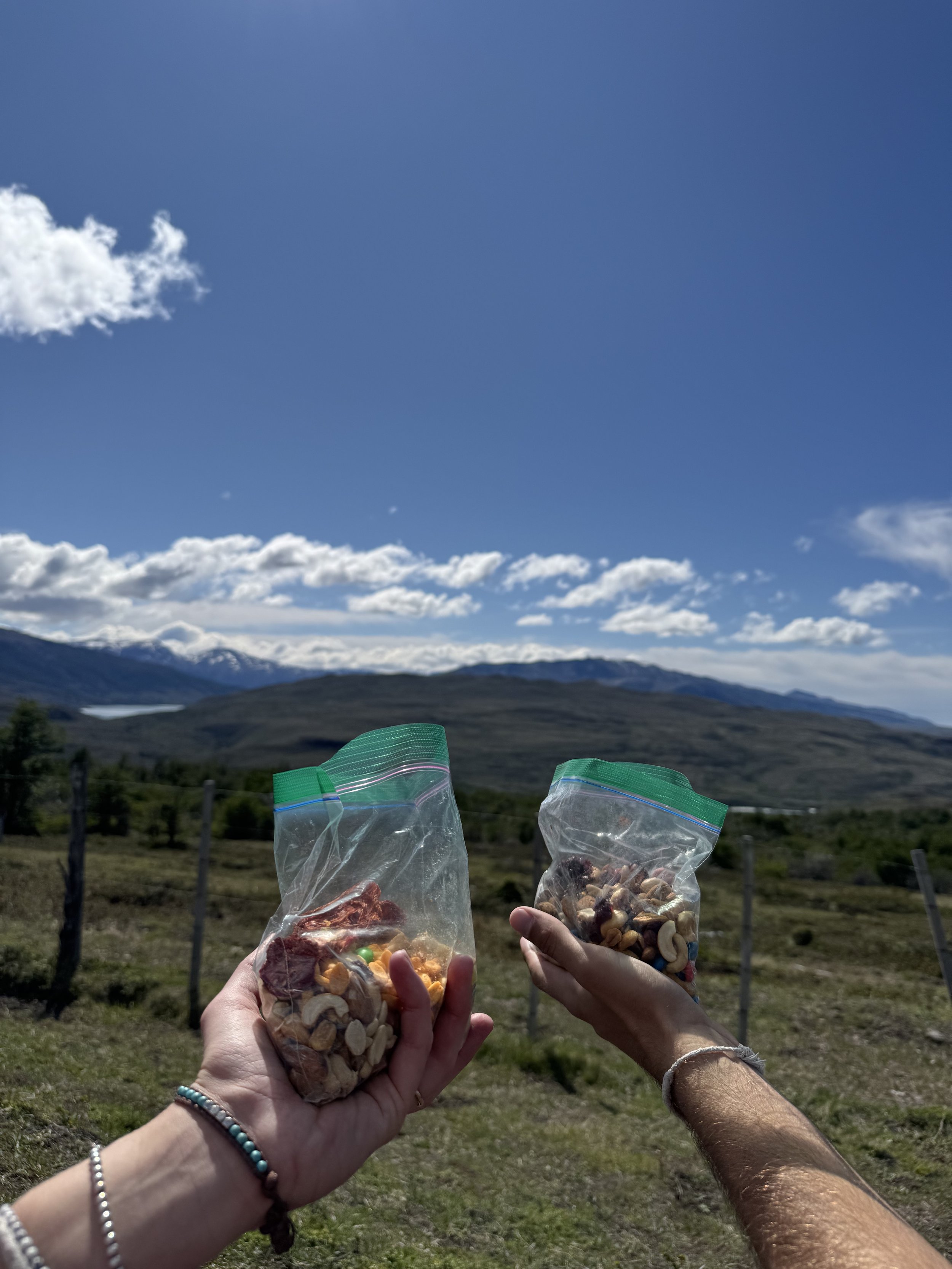
Continuing our Patagonian adventure we took a 15 hour bus journey from Ushuaia in Argentina to Punta Arenas in Chile. We spent three days in Punta Arenas and Puerto Natales, primarily in preparation for our main reason for visiting this corner of the world, our big adventure on the O-Trek in Torres Del Paine National Park. We booked an eight day hike on this 132 kilometer circuit to take in as much of Patagonia’s natural beauty without feeling too rushed each day. This post is unfortunately, once again, very long due to the heavy details included in each day of the trek and the challenges we faced along the way.
Punta Arenas & Puerto Natales
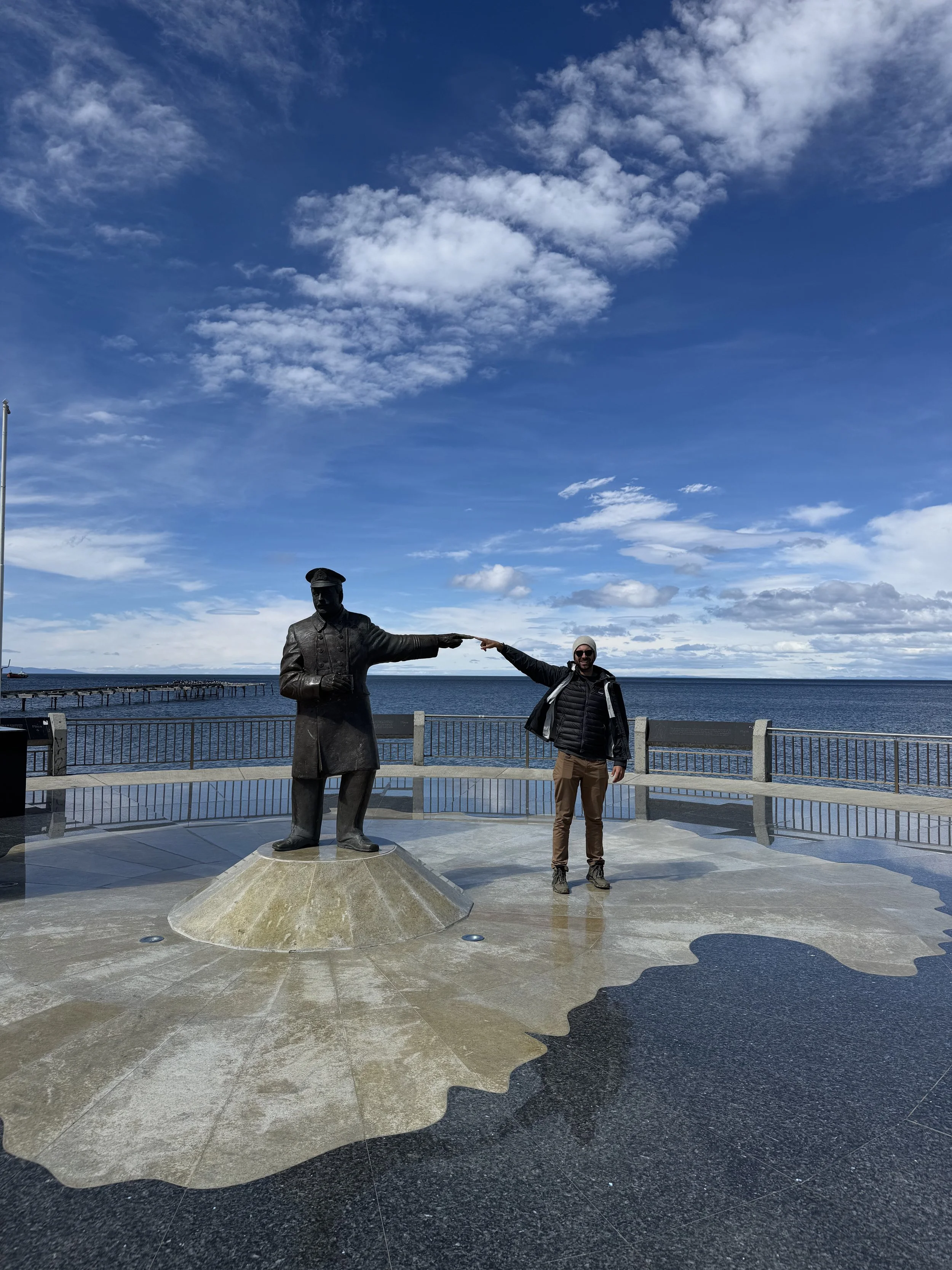
We arrived at a quiet Punta Arenas in the dark, after a much longer than anticipated bus journey from Ushuaia in Argentina. Feeling tired from our full day of doing absolutely nothing but sitting, we took an Uber straight to our Airbnb to settle in and catch some shut eye, but by the looks of the town we weren’t missing much exciting activity. Our time in Punta Arenas was primarily spent collecting supplies for our upcoming trek in Torres Del Paine National Park, which felt productive but was quite the blah blah blah moment for Patagonia’s largest port city. On our second night in town, as we were making our way to dinner at the interesting Shackleton Bar, we were totally caught off guard when we were suddenly surrounded by frightening ghouls and impressive superheroes! Checking the date (as we perpetually do), we realized that today was Halloween, a holiday with a surprisingly robust following in Punta Arenas.. As we’ve found, long term travel can result in holiday and date blindness. Cultural moments, which are so relevant when we’re at home in our normal lives, can start to feel so far away when standing on a street corner in a town at the end of the world. Never ones to pass up a chance to get some free candy however, we wandered through Punta Arenas’ version of Trunk or Treat. For those of you, like Jackson, who are unfamiliar with this event, it’s a mix between a car show and trick or treating, as kids can go between vehicles asking for candy in one safe place, instead of between houses in dicey neighborhoods. The people of Punta Arenas clearly take this event seriously, with dozens of cars also dressed up in costumes, mainly depicting the bloody and violent death of a pedestrian or animal hit by the car (not quite PG, but we’ll distribute points for effort). Sadly for us though, the free candy aspect of Halloween seems to be slow to arrive in Chile as we left empty handed, but happy to have stumbled upon their version of Spooky Season.
After two rather uneventful days in Punta Arenas, we took a two-hour bus ride up to Puerto Natales, the jumping off point to Torres Del Paine. Our initial goal had been to meet one of our close friends from home, then set off for the National Park together…but as third-party bookings can often lead to unexpected chaos, we were left in our usual duo. Now, we aimed to simply double check our packing list and soak up some modern luxuries before departing for the wilderness. Luckily for us, Puerto Natales is catered exactly to people in our position, with an endless list of cafes, restaurants, and equipment rental shops. To round out our hiking kit, we made a visit to Rental Natales, a small but mighty rental provider in the center of town. The shop’s owner, Guillermo, was full of great information, including the conditions in the park, what we would need for a successful trek, and some hot goss on the companies in charge of the inner workings for the park (more on this later!). With a temporary 55L backpack acquired for Sarah, we spent our final 36 hours in civilization filling ourselves with caffeine, tasty pastries, and petting as many street dogs as humanly possible. A side note on that last point, Puerto Natales is absolutely chalked full of dogs roaming the street, usually a scenario where they’re left without homes and love. However, most of these pups are cared for by the town as a collective, with dog shelters built along sidewalks, restaurants feeding them leftovers at the end of the night, and cars avoiding any perritos wandering in the streets. We could have stayed here for a week – aimlessly walking around, petting dogs and sipping lattes – but on November 3rd, it was time for us to venture out into the wild to start the most arduous part of our entire 13-month travels.
O-Trek – Torres Del Paine National Park
Torres Del Paine National Park is home to one of the world’s most famous hikes, the W Trek, as well as its less well known big brother, the O-Trek. Booking multi-day treks here can be quite confusing, as two separate companies operate the campgrounds along the route: Vertice and Las Torres. Compounding the confusion, they open their booking systems at two different points of the year, so the two-pronged booking system doesn't guarantee you’ll be able to grab accommodation all along the route. To help us ensure we got all the bookings we needed, we booked our trek through TorresHike.com. Their stress-free booking process and ongoing support up until the morning our hike began made our trip much easier, making their $220 booking and service fee totally worth it. As this part of our trip is a little bit unique, we’ve added a day-by-day summary of our week walking around these magnificent mountains below. To help the typical hiker understand the difficulty of each stage, Sarah (as a through-hike first-timer) has rated each one on a 1-5 scale, with 1 meaning “it’s a breeze” and 5 meaning “Torres Del PAIN”.
We woke up bright and early to catch our bus from Puerto Natales to Torres Del Paine National Park. Arriving at the stations we were greeted by utter chaos, as hundreds of hikers wearing massive packs and zero spatial awareness attempted to figure out which bus was theirs. We fought our way through the hordes of backpackers, then rode in through steady rain towards the park’s entrance in nervous silence with everyone else. Arriving at the park entrance after two hours, we had left the clouds behind and were greeted with sunshine (yay!) and more bus chaos (nooo!). Upon having our park entry passes briefly glanced at, we were all directed to various shuttles going to areas of the park with more narrow road access. This was the moment we identified the other O-trekkers, all lining up to be delivered to the final departure point at Central.
Day 1: Trailhead to Serón Campground
Kilometers: 13
Meters of elevation gain: 200
Time to complete stage: 4 Hours 30 Minutes
Sarah’s Difficulty Rating: 2/5
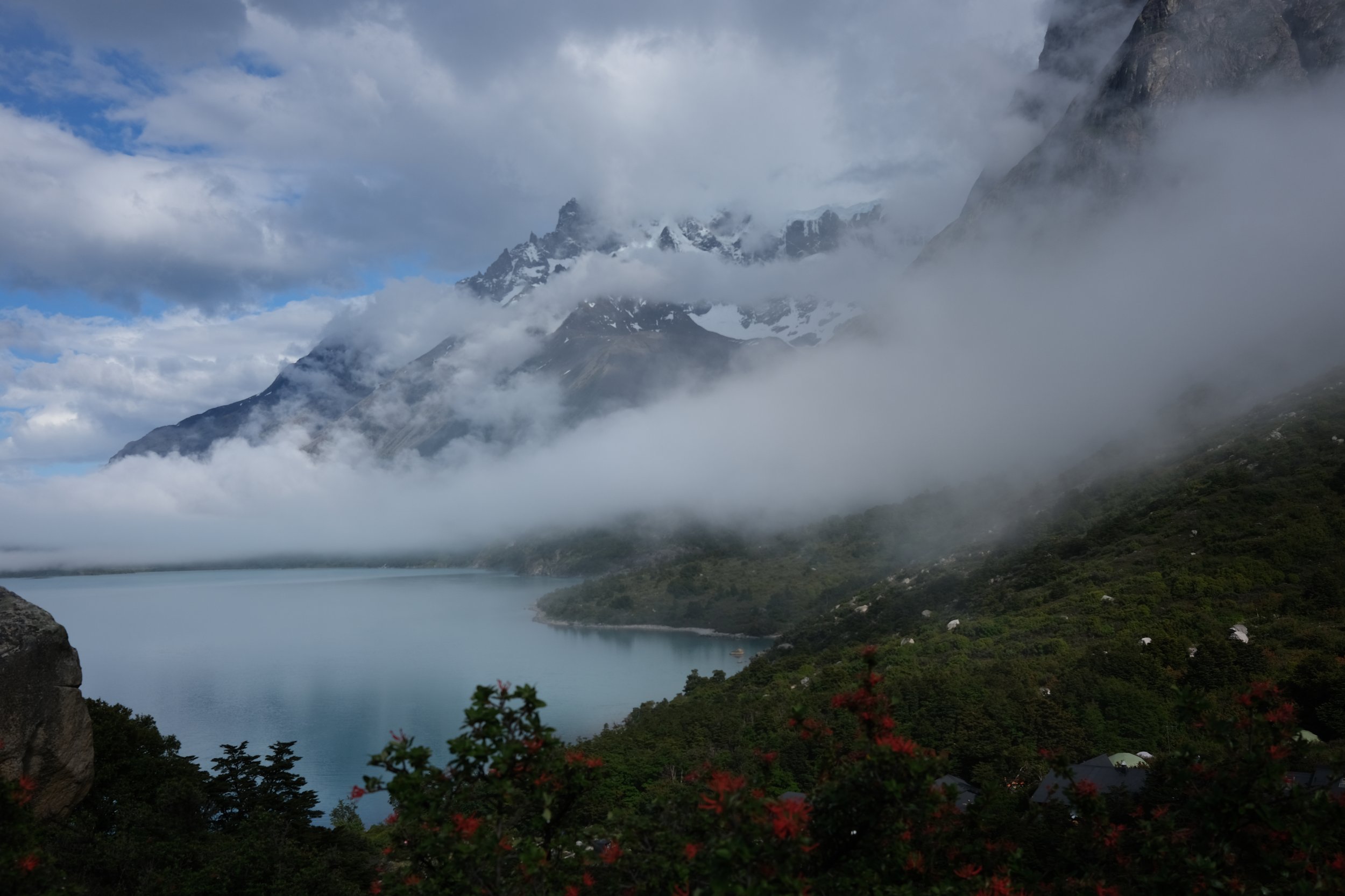
Once at the Welcome Center, we decided to have one final coffee before eight days without our usual caffeine fix. While it wasn’t worth it, it felt as momentous as the Last Supper. Buzzing for more than one reason, we took one last look at civilization (the contactless credit card beepers and silly little souvenirs) and stepped right into our next adventure. The trail began with a small, steep uphill towards a ridge above Refugio Central with great views over the lakes and mountains beyond the western border of the park – a taster of the road ahead. As we were standing here taking in the view, we spotted condors circling overhead, gliding on the wind, effortlessly moving through our horizon. Life looked pretty easy for them up there, and we took this early spotting as a good omen for the rest of our trek. From the ridge, the trail gradually climbs over the next several kilometers, occasionally offering terrific views over rolling hills and low mountains towards the east of the park. After about seven and a half kilometers, the hill suddenly ends before steeply descending towards flat plains running beside the Paine river. As we made our way through the Patagonian steppe and occasional strips of forest, we were pleasantly surprised to find wild horses snacking right on the trail! We watched them curiously follow hikers ahead in hope that someone may have smuggled them a rare carrot or sugar cube and discovered that we were being trailed ourselves! These majestic giants all had different coats – some spotted, others with chestnut manes. Leaving the welcoming committee to their grazing, we finished the last few kilometers of easy strolling across these plains to our campground for the night, Serón. This campsite, and some near the end of our trip, are owned and operated by Las Torres, one of the two primary camp operators in the park. However, unlike Vertice who is contracted by the government to provide this service, Las Torres still owns the land they operate on, despite sitting within the boundaries of the National Park. This means they can charge any amount for accommodation they want with no oversight and, trust us, they do. We paid $190 for a “premium” campsite which consisted of a converted SUV rooftop tent atop a steep and slippery hill. For this price, our tent did not include sleeping bags, pillows, or any food – those are all extra costs. Bringing the first day to an end, we cooked dinner in the basic “camp cooking” tent (think: sad wedding tent) and went to bed before the sun went down to get an early start the next day.
Day 2: Serón Campground to Dickson Refugio
Kilometers: 17.5
Meters of elevation gain: 376
Time to complete stage: 5 Hours 35 Minutes
Sarah’s Difficulty Rating: 2/5
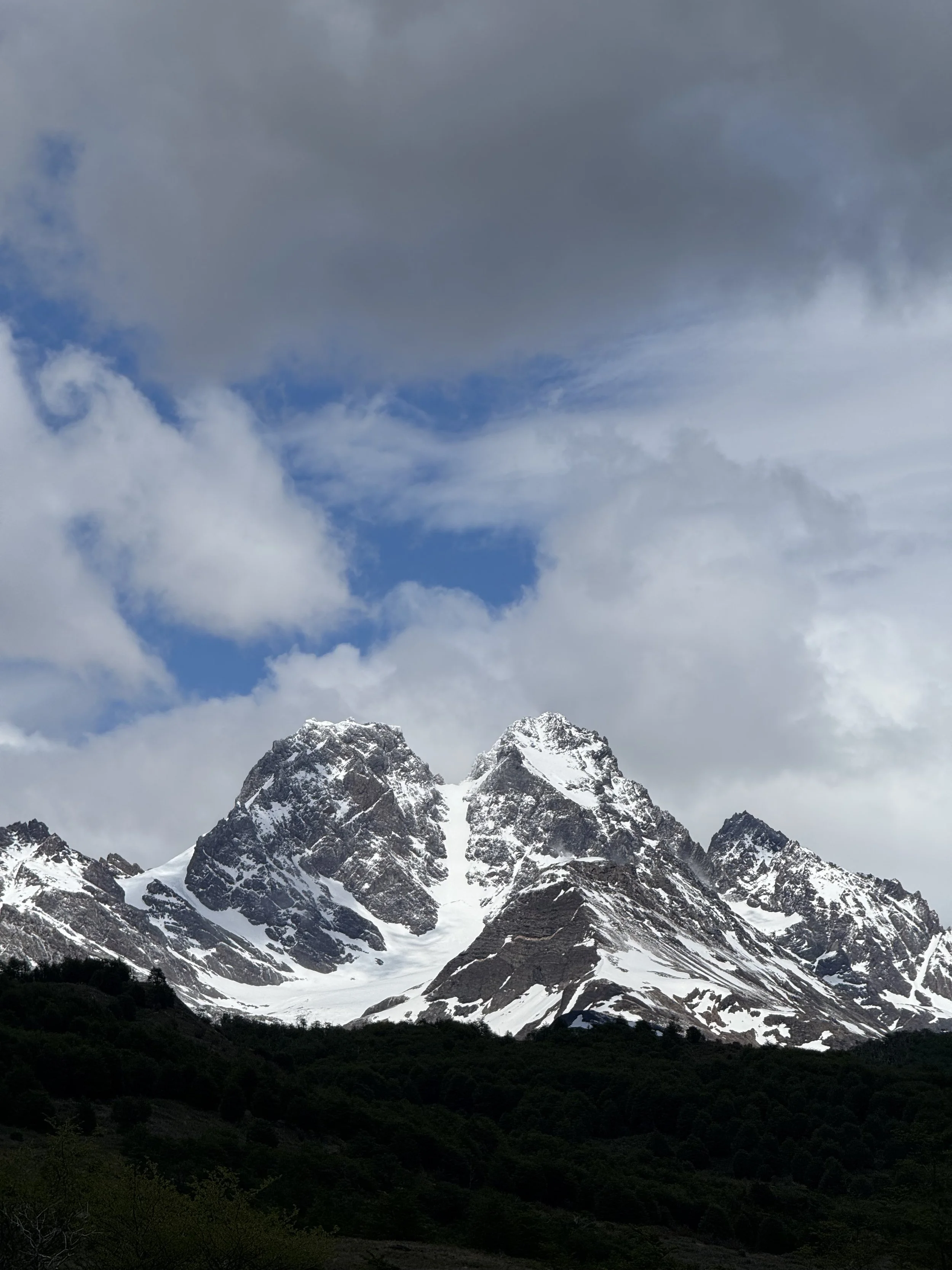
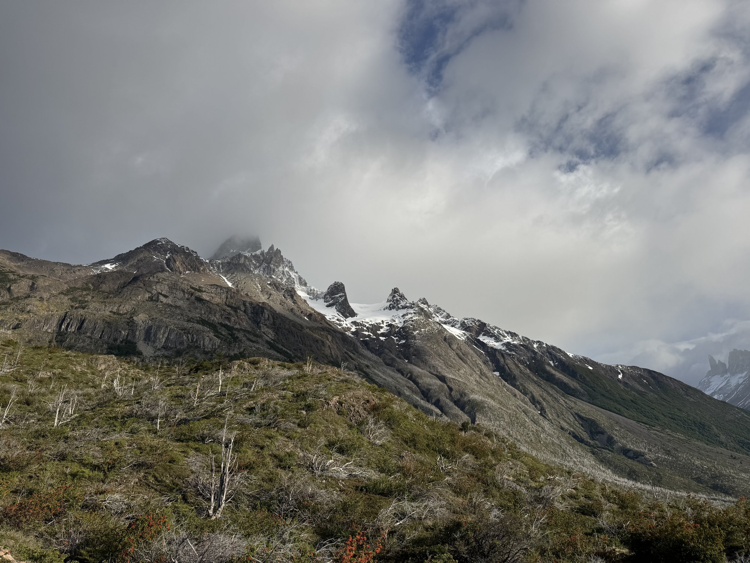
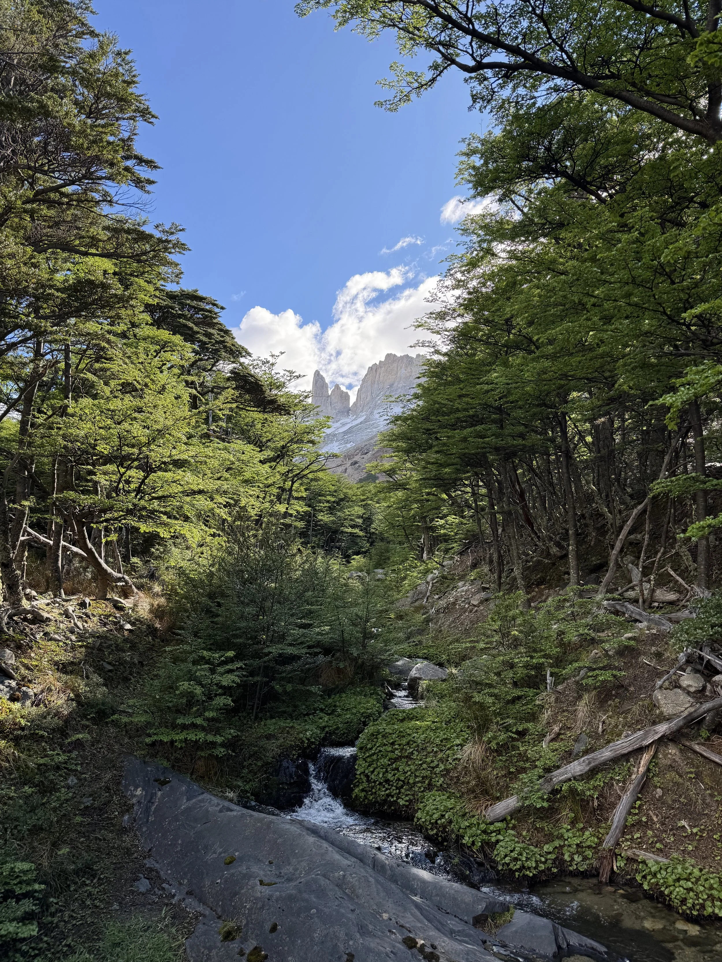
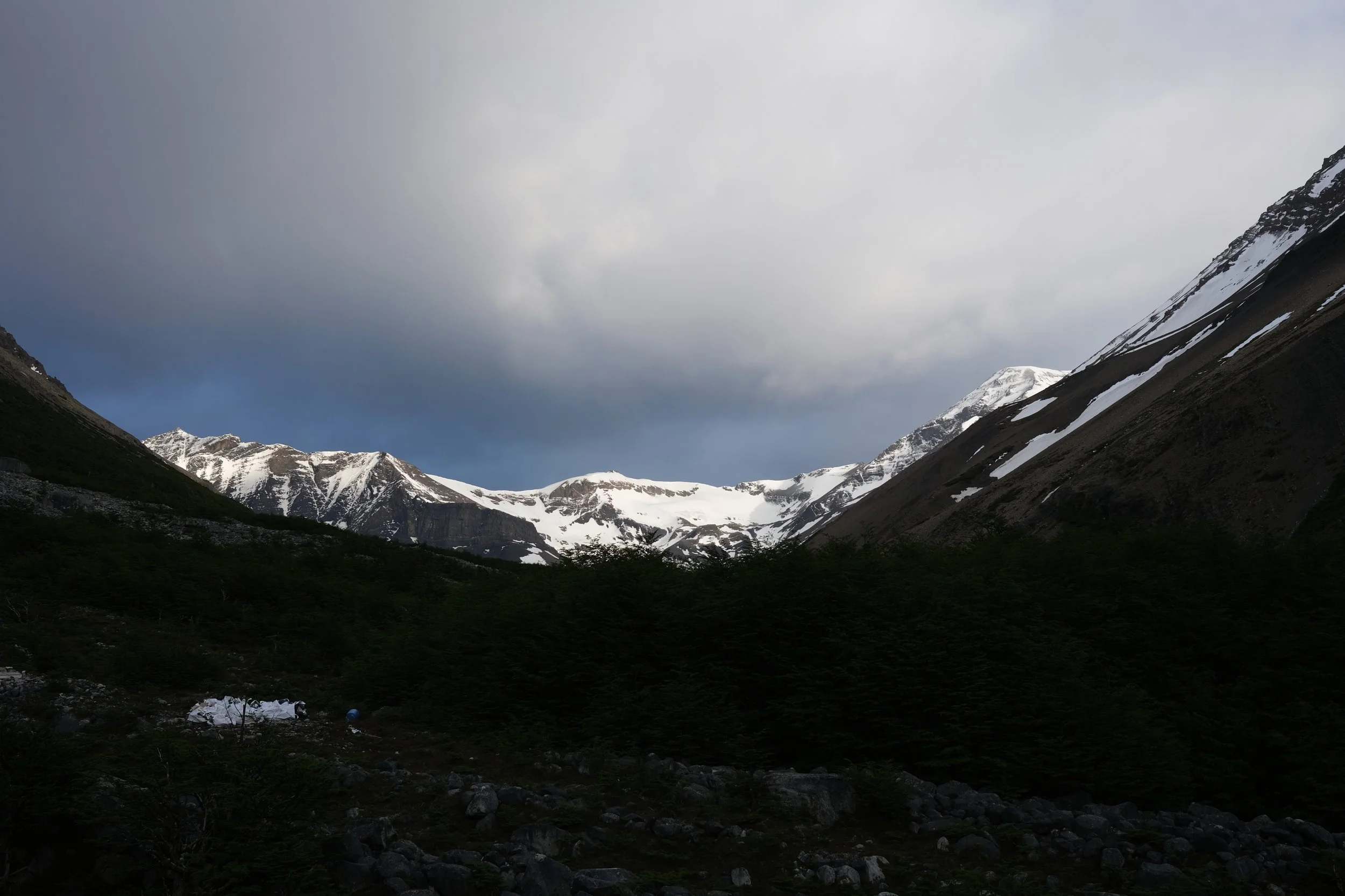
We were one of the first to leave camp, even though we slept in and only left around 8 am. The second stage is one of the longer days in terms of distance, but is quite easy, as most of the trail is considered flat and straightforward. The first two kilometers out of camp continued parallel to the Paine River until the trail turned west and climbed briefly, but sharply, over a line of hills descending from the mountains above to the river. Just beyond the day’s high point, we hiked around the last hill, exposing the first views over the northern side of the park and the backside of the Cordillera del Paine mountain range. The sight was spectacular – snowy peaks burst into the sky, seemingly growing out of the green like bulbs. From here it was a slow descent over the next several kilometers, until we were once again level with the river as we passed the seemingly abandoned Coiron ranger station. Empty ranger stations seem to be a theme within Torres Del Paine, as only one of the eight we passed seemed to show any signs of life. Once past Coiron, the trail flattened out for much of the rest of the day, with the following nine kilometers consisting primarily of flat steppe, occasional boardwalk across marshes, and a few lone stands of trees. Right before the campground, the trail climbed to wide open views of Dickson Lake, then descended even more vertically into the grassy field that is home to Refugio Dickson. Here, we spent the night inside the recently expanded hut, avoiding the late afternoon rain that rolled in and continued through the night. Our room was comfortable and unexpectedly private, as the other two beds inside went unoccupied. Early rest was not an option though, as we were situated right above the dining room and could listen in on everyone’s conversation late into the evening.
Day 3: Dickson Refugio to Los Perros Campground
Kilometers: 13
Meters of elevation gain: 510
Time to complete stage: 4 Hours 40 Minutes
Sarah’s Difficulty Rating: 3/5
We managed to get ourselves dressed and packed by 7:30, meaning that we were somehow once again the first hikers out of camp. Last night's rain spat on, albeit slowly, as we marched across the muddy fields towards the start of today’s slow ascent. Looking at the trail on the map, today’s route looked easy enough, only twelve kilometers, consisting of a steep initial ascent followed by a long, gradual climb up to Los Perros campground. What we hadn’t accounted for however, was that the rain would turn into snow just above camp. At first, we felt like gleeful kids, hiking through a gentle winter wonderland as the snow gently began to rest on branches and our packs. As we continued to climb, the snow started to grow deeper and the trail markers began to vanish beneath the layer. Since we were the first on the trail, we did not have any tracks to follow, so we may have wandered into one or two minor deviations from the actual route… We scrambled our way up snow-covered stones to the ridge of the Lago Perros, trying to spot the final markers that would take us to our overnight camp. At the ridge, we were surprised to find another hiker, who turned out to be a ranger warning us of how dangerous it was to be up here, but failed to give us a clear indication on where the real trail was. Lost and leaving the best view of the whole day behind, we followed her footsteps before they disappeared under layers of white. When we finally made our way into camp, we were greeted by the promise of cold showers and no fire – a warm welcome, no doubt! The rest of our O-Trek group slowly trickled in throughout the afternoon, piling into the one indoor space in the whole camp, attempting to dry themselves and their clothes alongside ours. Unfortunately for all of us, our collective body heat paired with the moisture in the air somehow made our clothes wetter and fogged up the windows. Over the next several hours, we all got to know each other in the cramped space, cooking and playing cards, turning our group of sixty or so strangers into the force we would need to be the next day (subtle foreshadowing). Before dark, we crawled into our snow-covered tent, in below freezing temperatures and attempted to get warm. The night was rough and filled with dripping water from above, a fun new addition to the already wet setting. As the restless night went on, the nerves for the next day’s journey over the John Gardner Pass began to rise.
Day 4: Los Perros Campground to Grey Refugio
Kilometers: 19.5
Meters of elevation gain: 830
Time to complete stage: 8 Hours 20 Minutes
Sarah’s Difficulty Rating: 5/5
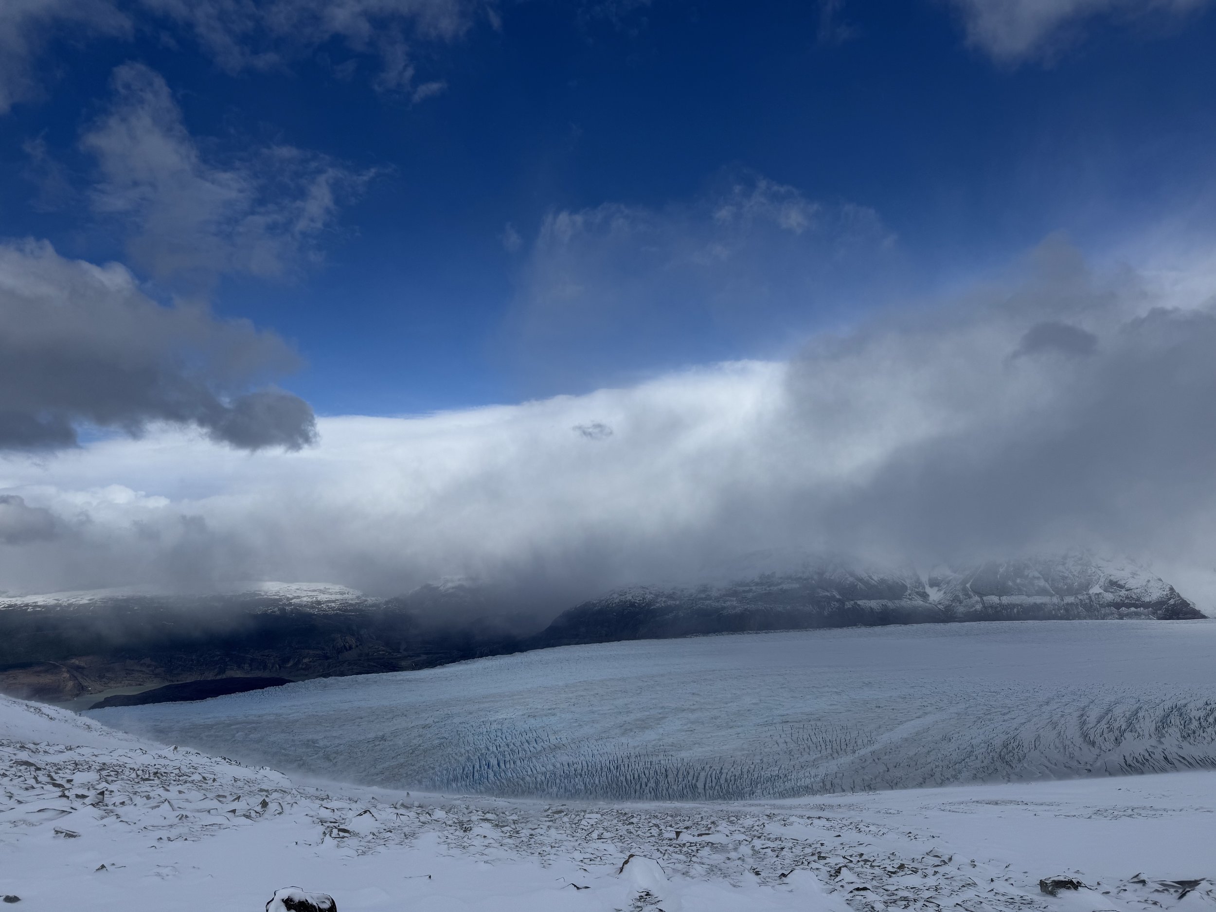
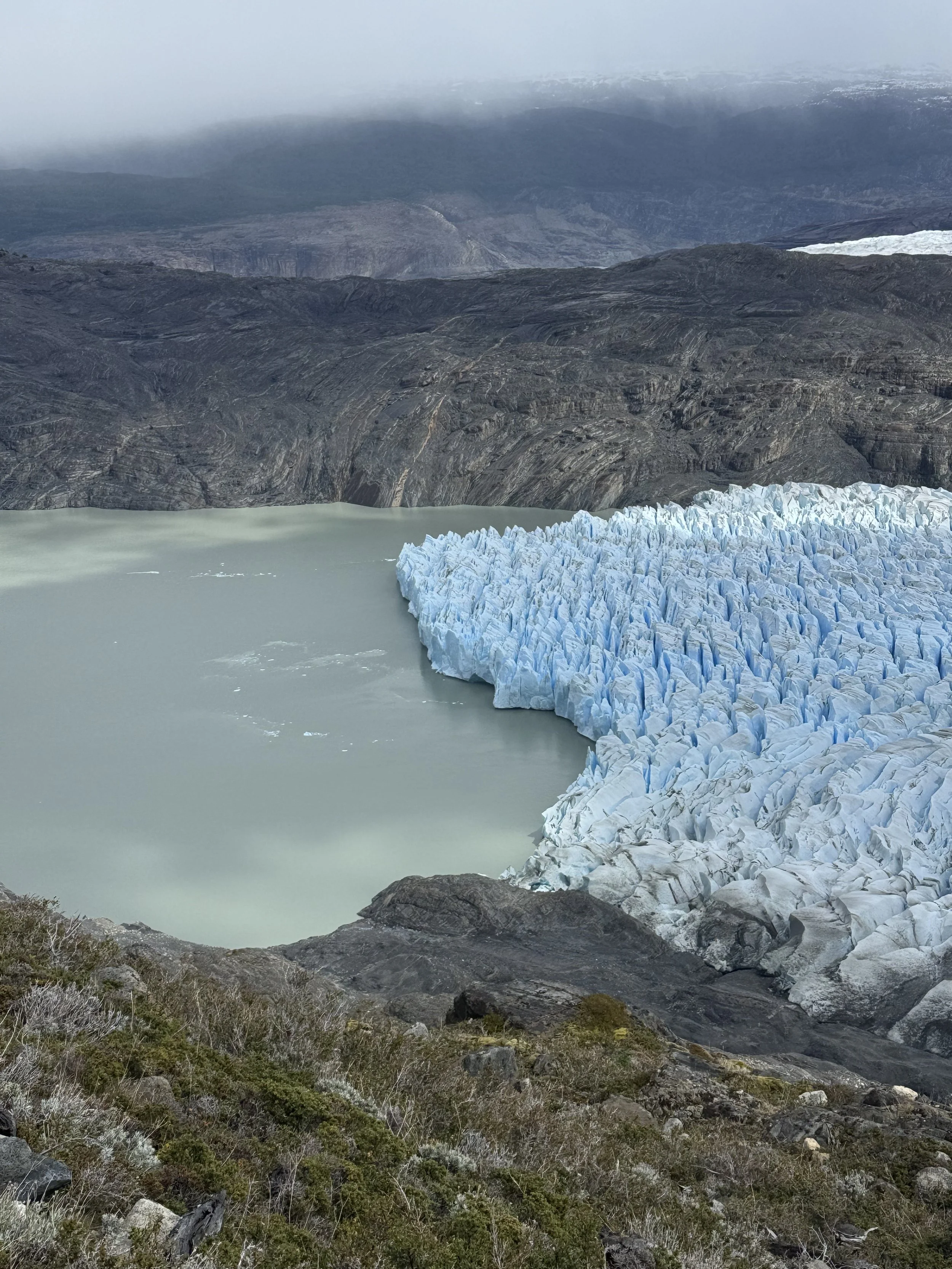
Having done our research on the difficulty of day four, we had agreed to hike together with some fellow globetrotters, an English couple named Ollie and Claire. Together, we departed camp at 6 am, though luckily this time we knew we weren’t the first ones out. The snow had continued to fall throughout the night, our steps now building snow towers atop our hiking shoes with each step. The trail climbed straight out of camp, crossing small streams on icy bridges before exploding out of the forest into snow drift covered rock fields after only a kilometer and a half. In the exposed landscape, the snow had piled and piled, and the only signs of a trail in front of us were the footprints left by a pair of Canadians, Andrew and Kyle, who had left camp an hour before us. While the next trail marker was straight ahead, their footprints abruptly turned sharply left, straight up the side of the mountain. Confused by their decision, we attempted to push on as indicated. Ahead of us sat a towering snow drift, easily three meters deep, covering tree tops and crossing an uncharted valley. Resigned to the fact that we now had to follow their steep trail, we tucked our tails and slowly started up the hill. The climb seemed relentless, up and up and up, over 100 meters above where we were meant to be. Above our heads, the snow drift carved a path down from the peaks – a perfect avalanche path. When we reached their highest point, sweaty and out of breath, we realized we would have to go all the way back down to the marked trail: heartbreaking for us and the others following our tracks. Tumbling back down to the trail markers, we spotted the Canadians on the horizon, seemingly zig-zagging all over the hill. We reached them after what felt like an eternity, only to learn they had been probing the hill for almost two hours, unsuccessfully looking for a way to the next marker. By this point, we were all already feeling exhausted and the pass still loomed several kilometers ahead of us. Our group, which had now grown to ten of us, continued to climb the pass Everest-style, trudging behind each other at snail speed. Another pair of Canadians were our fearless leaders, their Air Force background offering the determination and precision we needed. Our collective ascent took two more hours to cover one and a half kilometers, taking a few steps at a time before resting, stumbling through hip-deep drift. Eventually we made it to the pass, only to be greeted by a new adversary: wind. The gusts were at least 100 kph with gusts up to 150 kph, so strong that they ripped several rain covers off of backpacks and threatened to steal hats, sunglasses, and anything else that wasn’t tied down. Not only were the gusts forceful, but they whipped the snow into the air, creating tiny ice pellets in the process, that then met our exposed faces and hands. We only spent a few minutes taking in the views of Grey Glacier, then decided to cut our losses and carry on. While not as slow, our descent turned out to be more dangerous and steeper than our way up. Initially, we were able to rush down the snow covered slopes like they were dunes, occasionally resorting to our butts as sledding vehicles. When we hit the tree line, the trail got very tricky, covered in a slush of snow, ice, and mud. Over the next three hours, we battled this steep descent until hitting our next obstacle, the “unfinished” swing bridge. We had all been warned before this trip that the bridge wasn’t ready for the season and we would have to use a zipline to get across. When we arrived however, we found that the bridge was in fact, almost completely finished and we simply roped into a “for looks only” guideline and walked across, packs and all. From here, it was about one more hour of continued downhill until we reached Refugio Grey. We had booked a pre-set tent, but upon arrival Sarah was able to snag the very last two dorm beds, vastly improving our recovery from this arduous day (and the US election results). Finishing the night, our O-Trek crew collectively decided to splurge on pizza, burgers, wine, beer, and whiskey from the lodge, a fitting reward after such a strenuous journey.
Day 5: Grey Refugio to Paine Grande Refugio
Kilometers: 10
Meters of elevation gain: 367
Time to complete stage: 3 Hours 20 Minutes
Sarah’s Difficulty Rating: 1/5
To heal as best we could, we allowed ourselves to sleep in until 8:30 the following morning and treated ourselves to a coffee before leaving camp. Stage five is a pretty quick, easy hike, especially after completing stage four. Not to mention that we officially joined the W trekkers that day, meaning the trails were better maintained, much more manageable, and gave views onto signs of civilization, like boats jetting out to the glacier’s edge. The trail out of camp was quite level for about two kilometers, before rising up some switchbacks and gentle slopes to the day’s high point, with great views over Grey Glacier and the mountains beyond Lago Grey. From here, the trail flattened for another three or so kilometers past smaller lagoons and over rocky outcroppings, then descended slowly down a glacial valley the final few kilometers to Paine Grande. Even though we hadn’t left until 9:30, we arrived at camp before 1 pm, with many photo and snack stops included. Once we arrived at Paine Grande, we saw the wind forecasts of up to 100 kph overnight and once again decided to change from a pre-set tent to a refugio dorm bed. As many of our fellow O-Trekkers had decided to do the same, it turned the dorms into a bit of an O-Trek party, to the annoyance of some more “upscale” W-Trekkers. Similar to the trail changes, the lodges on the W side are all much larger and better appointed than those on the O side, and the type of hiker changes dramatically as well. Many of the people we encountered here were not familiar with or prepared for the outdoors, with some not even carrying water for a multi-hour hike. The trails on the W also get much more crowded than those on the O – we were shocked and slightly annoyed by how many people we passed and how many seemed to be devoid of all trail etiquette. Stage five also signals the breaking up of the O-Trekkers, as from here on people are on different itineraries spread out across multiple camps. What remained of our O-Trek group cooked and enjoyed dinner together before shutting down the bar, full of excitement for tomorrow’s views.
Day 6: Paine Grande Refugio to Los Cuernos Refugio [Including Mirador Britanico Roundtrip]
Kilometers: 27
Meters of elevation gain: 914
Time to complete stage: 10 Hours
Sarah’s Difficulty Rating: 4/5
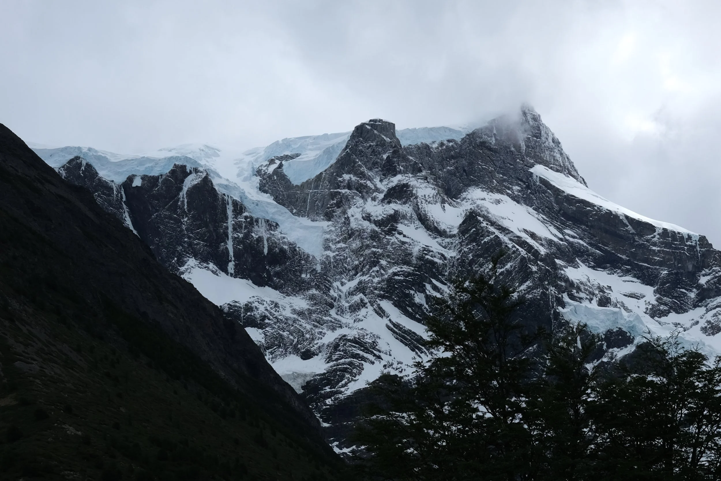
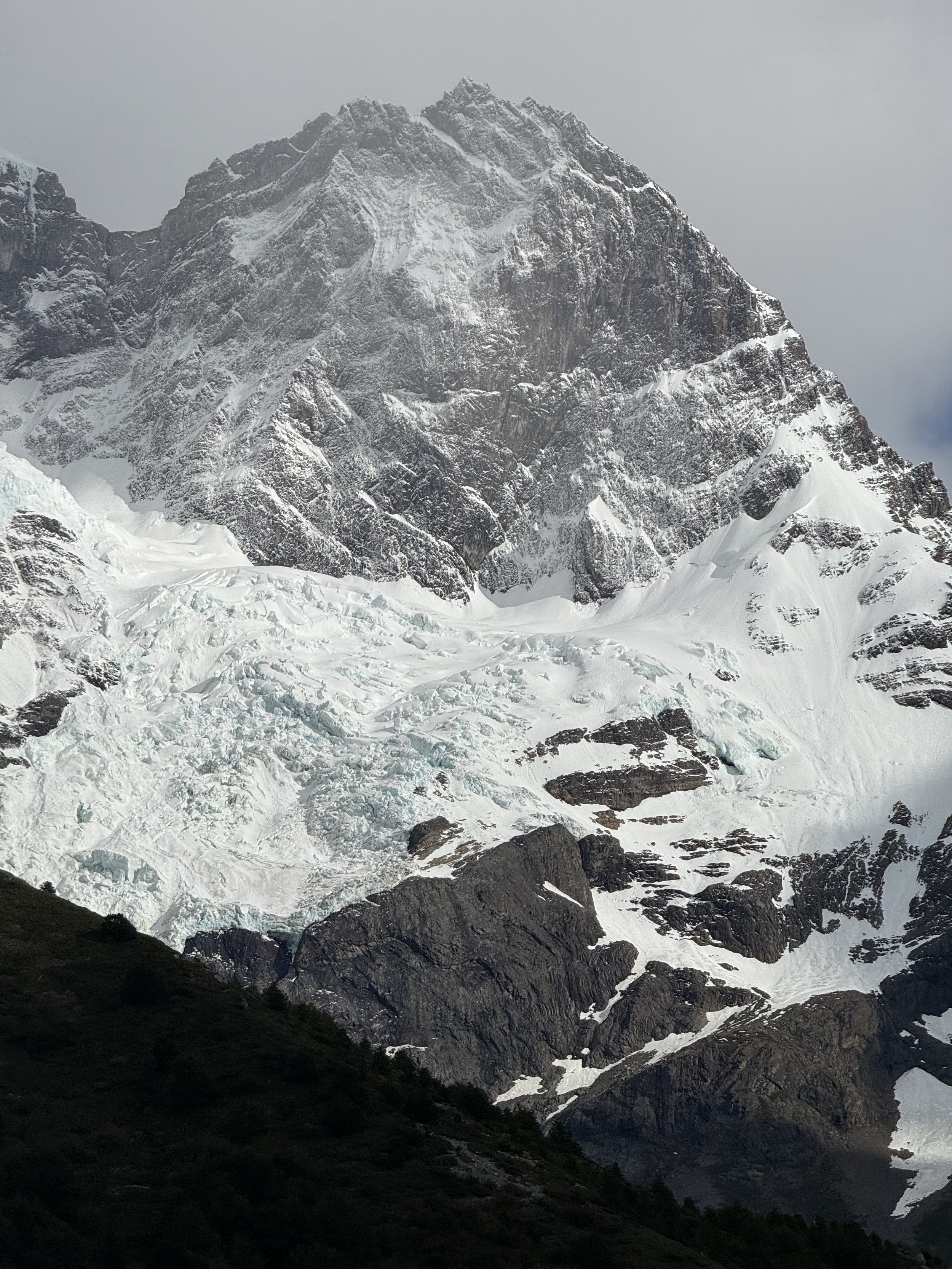
We packed our bags and left the refugio early, knowing that today would be our longest stint of the entire trip. Luckily for us (and our knees), the day’s beginning was quite easy as the trail out of camp was mostly horizontal all the way to the Italiano campground eight kilometers away. Here, we dropped Jackson’s packs and consolidated Sarah’s pack to only include snacks, drinks, and an extra layer for our out-and-back hike up to Mirador Britanico. This out-and-back serves as the centerline of the W trek, a 13 kilometer roundtrip, climbing 600 meters up to a tremendous viewpoint at Britanico. The trail from Italiano started with a consistent uphill climb along various glacial streams for about an hour until we reached Mirador Valle De Francés, offering sensational views of the Francés glacier and the mountains beyond. We sat here for a little while, hoping to see a large chunk of ice fall from the glacier to the valley below, but only spotted the occasional sliver of snow making the long plunge down. The trail then continues to climb, but at a relatively flat rate for another several kilometers, taking us through small forests and over many glacial streams. Finally, about half a kilometer from the finish, the trail suddenly jolts up, turning into a scramble about one hundred meters up. After some swearing and plenty of sweating, the trees suddenly opened up and we found ourselves sitting on the fully exposed lookout. We savored the view with many of our fellow O-Trekkers for almost an hour, not wanting to pull ourselves away from the panoramic view of the snowy peaks. Knowing we were only halfway to our day’s destination, we forced ourselves to hurry back down the trail to Italiano to reacquire Jackson’s pack. On the final push to Los Cuernos Refugio, we were faced once again with one of the big problems within this park, the lack of accurate signs. One told us it would be 2.5 kilometers to Francés camp, another 2.5 to Los Cuernos, another said it was 1 kilometer to Francés and 5 to Los Cuernos, and some simply didn’t include a distance. We soldiered on down the trail without a sense of time and knowing how far we truly had to go. We finally reached our day’s destination after about ninety more minutes and 6 kilometers of hiking (none of the signs were correct) and settled into the most expensive night’s accommodation of our entire world trip. Thanks to Las Torres, our two beds in an eight bed dorm were $360, an insane fee that didn’t include sheets, a pillow, food, drinks, or wifi. Topping off our night with one more frustration, the bed was only 1.85 meters long, which meant Jackson was scrunched up all night long and robbed of any sleep.
Day 7: Los Cuernos Refugio to Torres Central Campground
Kilometers: 11.5
Meters of elevation gain: 438
Time to complete stage: 4 Hours 5 Minutes
Sarah’s Difficulty Rating: 2/5
Since we knew the seventh stage was relatively easy, we once again allowed ourselves to have a slow start to the day. We slept in, had breakfast at camp, and didn’t hit the trail until after 9:30, a very late start time for the two of us. Even though the trail today was one of the most heavily trafficked in the entire park, the trail markers and signs once again frustratingly lacked information or were inaccurate. Despite dodging false turns and tricky signage, our hike mainly rambled over small hills, with expansive views over Lake Nordenskjöld and the mountains to the south of the park all day long. When we finally reached the grassy plains ahead of Hotel Las Torres, we were met with hordes of day trekkers, some traveling in unnecessarily large groups that occupied the entire trail. Weirdly, this arrival felt like the end of the trek, as we knew we would be departing from here the next day. Still, we knew tomorrow would bring one last hurrah for the O-Trek. Again this was a Las Torres camp, so our tent for two was way overpriced at $190. We set up our new home, grabbed our cooking materials, and got to work, aiming for an early night in preparation for our last day trek to Mirador Base Torres.
Day 8: Torres Central Campground to Trailhead [Mirador Base de las Torres Roundtrip]
Kilometers: 21
Meters of elevation gain: 1,147
Time to complete stage: 6 Hours 50 Minutes
Sarah’s Difficulty Rating: 5/5
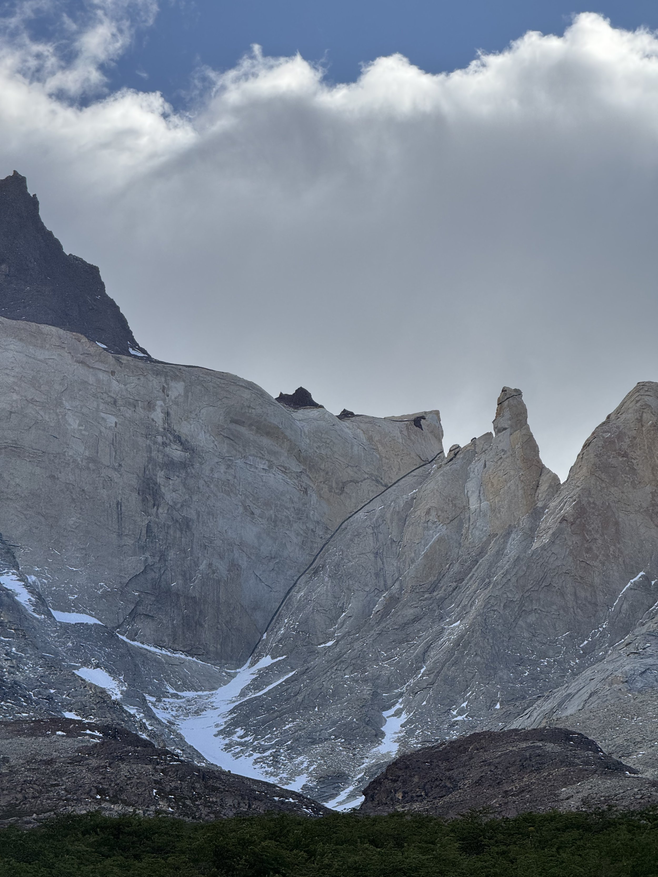
Drum roll please..! The day had finally come: day eight of the O-Trek. Though we knew the end of walking was nigh, it was far from our minds as we awoke at 2 am to begin our ten kilometer out, nearly one kilometer up ascent to Mirador Base Torres. Leaving camp, we were encouraged by the bright stars above us, prompting us to think the sunrise would be clear. Head lamps strapped on and jackets zipped, we climbed, and climbed, and climbed. We eventually reached the Chileno campground, where our luckier O-Trek compatriots were still gearing up for their early-morning ascent on two hours more sleep. From camp we continued to climb slowly up towards the final push: a one kilometer, 400 meter vertical scramble up to the ledge of Lago Torres. Together with a collection of new friends, we clambered over boulders just in time for clouds to cover the towers, hiding them from our desperate eyes. For about ten minutes, we could barely see the rocky peaks, the only color in our view being the aquamarine glacial lake below them. To our disappointment, our old friend Snow re-entered the conversation, covering us all with a fine dusting of flakes. Fearing that we had just hiked for over three hours and up a wall of rocks for nothing, we sprang up for joy when the clouds parted and the sun broke the horizon. Warmth radiated over the boulders and illuminated the towers in a brilliant tangerine, a stunning contrast to the icey blue below. Despite the brutal chills of the wind, we could feel the warmth returning with this final send off, feeling like we had achieved the hike’s biggest prize. Celebrating our success, we snapped photos and cheered with our rag-tag groups of O-Trekkers, thankful that the final moments had been worth the pain. After bearing the cold for as long as our tired bodies would let us and watching the colors of the rocks change with every second, we began our final descent of the trip.
Puerto Natales
As we crawled onto the bus that would return us to Puerto Natales after eight exhausting days in the beautiful Torres Del Paine National Park, we were filled with a mix of emotions. As we sat down, surrounded by friends we’d made on the trek, we reminisced with these adventurous souls who had improved our wellbeing in the most challenging of conditions. We’d laughed, sometimes cried, and had a few too many drinks with them, and it was a devastating thought to have to say goodbye to so many terrific people. We also felt the despair of leaving behind the landscapes, wildlife, and unpredictability of this wild country. Even though getting to the best views had often proved more difficult than expected, each view drew us in and captivated our sense of wonder. While filled with a deep sense of nostalgia, we were very happy to be heading back to a warm hostal, a cozy bed, tasty coffee (from an actual grinder!!), and endless street puppies. Jackson knows from previous hikes, that ending these long wilderness treks always presents a unique mix of emotions, but this one seemed to be more complicated than others. Maybe it was because we had been planning it for so long, and it’s end signaled that we were one step close to returning home, or maybe it was because of these new friendships that would soon disperse to far-flung corners of the world. As we slowly sank into our seats with these emotions (and exhaustion) running through our heads, we began to doze off, trying to catch up on a few missed zz’s from this morning’s 2 am start.
Once resettled into our warm hostal room, we returned our gear to Rental Natales and abandoned the most vile bags of laundry at a not-so-friendly lavanderia in town. Initially planning to only spend one night in Puerto Natales before heading off for Argentina, we quickly extended our stay by an additional night, feeling like we needed more time to take it easy. While here, we primarily rediscovered our old routines of searching for coffee, hunting for snacks, and petting friendly street doggos. On our final night in town, we decided to reward ourselves for our successful hike with a nice dinner out at Afrigonia, a unique blend of Patagonian and African flavors. We feasted on scallops, king crab, thick slices of parmesan, and delicious Calafate cocktails, a Patagonian specialty. With one last item on our to-do list, we made our way to Puerto Natales inaugural Oktoberfest to say a final goodbye to the friends we’d made along the O-Trek. Reading the event’s summary online, we were promised German food, German beer, and German music, which all sounded very attractive to the handful of Germans who had accompanied us. Unfortunately, we discovered that it was in fact: an outdoor event in 2º C (36º F), featured exclusively Chilean breweries, only had one food stand, churros, and was solely accompanied by a mariachi band in blue sparkly blazers. Despite being far from what we expected, the surprise and chaos of it all was an incredibly fitting way to end our time with our trusty squad: “Team X-Treme”.
Recommendations
Where We Stayed:
Punta Arenas
Puerto Natales
O-Circuit
Some of Our Other Favorite Restaurants:


